Süttő
Tourism
Official Website: http://www.sutto.hu/
Website Introducing the Settlement: http://hu.wikipedia.org/wiki/S%C3%BCtt%C5%91
http://www.vendegvaro.hu/Sutto
http://www.holvan.hu/hu/terkep/telepules/S%C3%BCtt%C5%91
Cultural and Conferance Tourism
- heritage site (national importance), built heritage (local importance)
Other Services
-
pharmacy shop
http://www.aranyoldalak.hu/sutto/ugyeletes-gyogyszertar/index.mtt
- doctor’s office
http://www.sutto.hu/egeszsegugy.html
- post office
http://www.cylex-tudakozo.hu/ceg-info/s%C3%BCtt%C5%91-posta-604061.html
- restaurant, pastry shop
Accomodation
http://www.iranymagyarorszag.hu/keres/sutto/szallasok/vadaszhazak-p1/
Informations
|
|
Settlement name |
Süttő |
|
Population |
2 024 inhabitants |
|
|
Area |
3 451 ha |
|
|
Administrative status |
village |
|
|
Location of settlement centre |
47.75560, 18.44580 |
|
|
Height of settlement centre |
116 m |

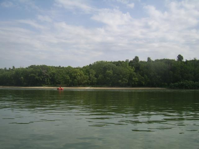
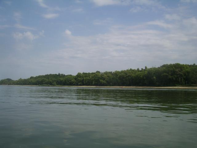
Süttő is situated in the Komárom-Esztergom county at the right bank of the Danube. The settlement can be approached on route 10 and on railway line Esztergom-Almásfüzítő. Its name is originated from the root Séd. In the ancient Hungarian language the expression “séd” meant creek, water flow that fell into the Danube here. From the territory of the settlement many archaeological artefacts were found. At Alsó-Bikol a motte from the bronze age, in south-western direction from the village hill tombs from the iron age were explored, but also monuments from the Roman age were found.
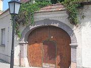
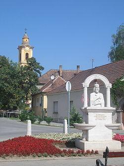
Besides sylviculture and viniculture the traditional craft of the settlement is stonework. The red limestone of the near Gerecse-mountain has been mined for centuries. The mined stones were used already at the castle buildings of King Sigismund and King Matthias. According to chronicles the Italian wife of King Matthias, Beatrix brought the Italian stone-cutters to the village, their remembrance is preserved by such family names, like Giacinto and Paruzelli. The stone-procession has been occupied many local people until today. The church of Süttő was erected by József Batthyányi prince-primate at the end of the 18th century in late baroque style. The other building of the settlement protected as a historic monument is the Reviczy-curia in Bikolpuszta. The building, which is of the same age like the church, was transformed in classicistic style. Tourists visiting the village are welcome in the restaurant, guest house and hunting lodge.
Sources: http://hu.wikipedia.org/, http://www.vendegvaro.hu/, http://www.holvan.hu/hu/terkep/telepules/S%C3%BCtt%C5%91
Gallery