Unirea
Tourism
Official Website: http://www.primariaonline.ro/judet-Calarasi/primarie-Unirea
Website Introducing the Settlement: http://ro.wikipedia.org/wiki/Unirea,_C%C4%83l%C4%83ra%C8%99i
Cultural and Conference Tourism
- Monasteries, churches:
http://www.crestinortodox.ro/biserici-manastiri/
Ecotourism, excursions
- Ramsar sites, Natura 2000, Nature protection area
Borcea branch: http://calatorii.myfreeforum.ro/t475-bratul-borcea
Sports
- fishing:
Other Services
- doctor’s office
http://www.doctorbun.ro/u-cmi-dr-telescu-lilian_7383.html
- post office
http://www.posta-romana.ro/offices/details/calarasi/unirea_3958
Informations
|
|
Settlement name |
Unirea |
|
Population |
3015 inhabitants |
|
|
Area |
65,16 km2 |
|
|
Administrative status |
commune |
|
|
Location of settlement centre |
||
|
Height of settlement centre |
8 m |

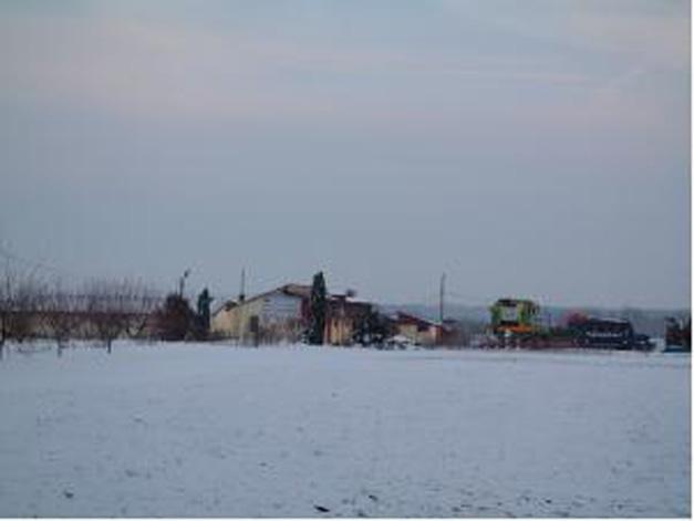
Geographical location: Unirea Commune is situated in the South-Eastern part of the country, on the left side of Borcea Branch, between the Baragan Field and Borcea Lake, 22 km far from Calarasi Municipality and 30 km far from the town of Fetesti.
The two component villages, Unirea and Oltina, gather 3015 inhabitants.
The surface waters encompass here Dunarea Veche, Borcea Branch and Bala Brach.
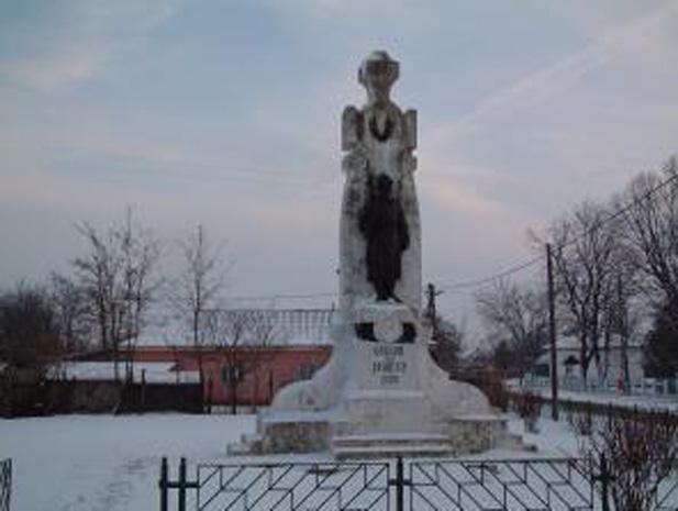
The oldest proofs of human inhabitants attested on the commune territory are from the early Bronze Epoch and are consisting of three tumuli (funeral monuments) belonging to the Yamnaia culture developed during 3200-2800 b. C. The erosion developed on the Bala Branch in 1991, revealed vestiges from Neolithic times, since the 5th millennium b. C. (the Boian Culture) and the 4th millennium b. C (the Cernavoda Culture).
Area specific activities: the agriculture, the fishing.
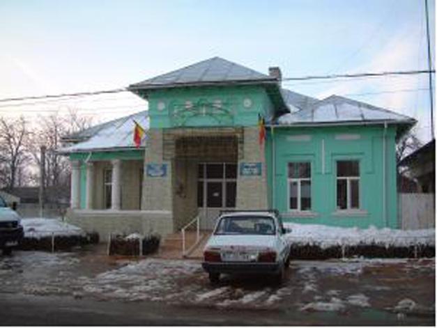
Tourist Objectives:
- archaeology sites named “Movila din vii” (The Hill Among The Wine Yards) and “Movila cu coada” (The Tail Hill) situated in the South-West of the locality;
- the geto-dacian settlement situated on Bala Branch, dated on the 4th – 2nd Centuries b. C.
Facilities offered to the investors: vegetable growing, zootechnical farms, units for processing the animal products (slaughter-houses), tourist bases, pisciculture centres.
Source: http://www.primariaonline.ro/judet-Calarasi/primarie-Unirea/m/3/s/21
Gallery