Slobozia
Tourism
Official Website: http://primariaslobozia.ro/date-istorice
Website Introducing the Settlement: http://primariaslobozia.ro/date-istorice
Religius Tourism
http://manastirea_sfantul_ioan_rusul_giurgiu.crestinortodox.ro/Manastirea-Sfantul-Ioan-Rusul.html
Sports:
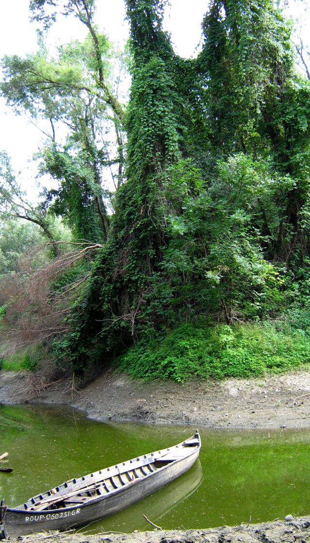
- Fishing
http:// www.pescuitlaconac.ro/
Other Services
Informations
|
|
Settlement name |
Slobozia |
|
Population |
2597 inhabitants |
|
|
Area |
132, 87 km2 |
|
|
Administrative status |
commune |
|
|
Location of settlement centre Height of settlement centre |
43°52’N, 25°23’ E 18 m |
The commune Slobozia is situated in the South part of Giurgiu county, boarded in the North by the Danube, in the East by the town Giurgiu, in the North by the Commune Stanesti, and in the West by the communes Putineiu and Vedea. The land is a meadow, with golfs and islets, and forests of willows and poplars on the Danube bank.
Due to its position, favourable to the development of human settlements, various archeologic sites were discovered in Slobozia.
„Rapa Bulgarilor” and „Drumul lui Rainea” are two sites from the Paleolitic, the longest period in the history of the hummanity, around 23.000-17.000 BC, where silex tools where discovered.
„Drumul Vacii”, „La Cazemate” and „Drumul lui Rainea” are sites dating from the Neolithic, where ceramic fragments from the Boian culture where discovered.
In „Rapa Bulgarilor” and „Cerna” where also discovered elements form the Early Bronze Age, from the cultures Glina III - Schnekenberg, and Cernavoda II – III.
In the site „Drumul Vacii”, in a point situated between the river Cama and the village, there were also discovered traces of the Middle Ages, and ceramic fragments from the 13th – 14th Centuries, that correspond to the period when the feudal state Tara Romaneasca was funded.
The main occupation of the locals is agriculture and pisciculture.
Main touristic objectives:
- The church „Sfantul Gheorghe” (1864)
- The church „Sfantul Ioan Rusul”, 7 km near Slobozia.
Events: The village festivity
Accomodation: Putieniu commune, complex „La conac”, 11 lodges.
Gallery