Jegalia
Tourism
Official Website: http://www.primariajegalia.ro/
Website Introducing the Settlement: http://ro.wikipedia.org/wiki/Comuna_Jeg%C4%83lia,_C%C4%83l%C4%83ra%C8%99i; http://www.primariaonline.ro/judet-Calarasi/primarie-Jegalia
Cultural and Conference Tourism
- Monasteries, churches:
http://www.crestinortodox.ro/biserici-manastiri-harta/biserica-jegalia-jegalia-17098.html
Other Services
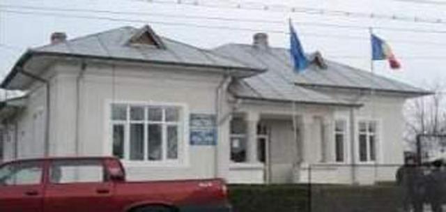
- police
http://www.looms.ro/calarasi/jegalia/informatii-utile/institutii-de-stat/politie/politia-jegalia/
- pharmacy shop
http://www.calarasi247.com/utile/farmacii-farmacia-anisa-jegalia-9-4041-t685-p0
- doctor’s office
http://www.doctorbun.ro/u-cmi-dr-florescu-liviu_7156.html
- post office
http://www.posta-romana.ro/offices/details/calarasi/jegalia_6546
Informations
|
|
Settlement name |
Jegalia |
|
Population |
4,706 inhabitants |
|
|
Area |
127,81 km2 |
|
|
Administrative status |
Commune |
|
|
Location of settlement centre |
44.297,27.639 |
|
|
Height of settlement centre |
255 m |
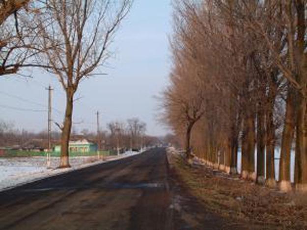
Geographical location: Jegalia is a constituent commune of the Calarasi County. It is situated about half the distance between the Calarasi Municipality and the Fetesti Town. Jegalia is a commune which includes, besides the Jegalia Village, the Iezeru and Galdau Villages. The Iezeru and Galdau Villages are separated by a pond (in Romanian “iaz”) (the Iezeru Village took its name after the Romanian “iaz”) over which a bridge has been built. The Galdau Village is separated from the Jegalia Village by a meadow along 1 km distance. In the south of the Jegalia Commune, about 1 km far from the Commune, lies the Borcea Branch of the Danube (between the Borcea Branch, to the west, and the Dunarea Veche Branch, to the east, the Danube forms the Borcea Swamp, also known as the Ialomita Swamp).
The Commune takes its name after a landowner called “Jegaleanu”, who owned an estate in land in the Commune.
Tillable lands and pastures are the only natural richness of the commune. The economic potential and the economic units for exploitation of the local resources are modest, mainly agricultural units, which makes a poor base for the future development of the settlement.
Tourist attractions
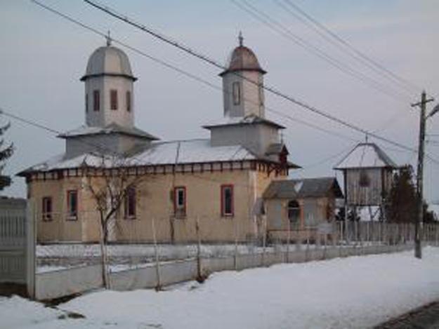
- Jegalia Church, a historical monument built in 1926
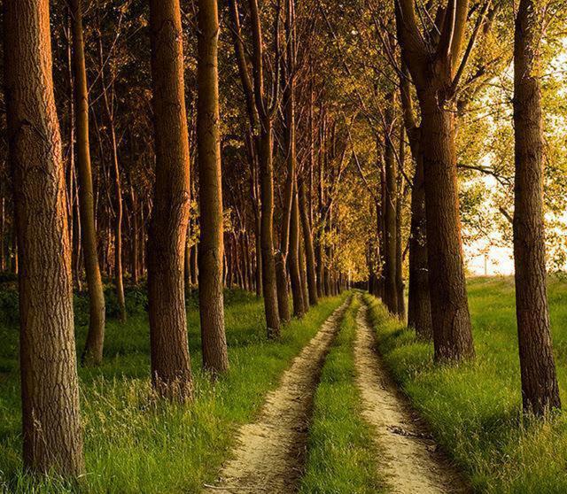
- The Jegalia Woods
- Exit to the Danube through the Borcea Branch
Source: http://www.romania-tourist.info , http://www.ghidulprimariilor.ro/business.php/PRIMARIA-JEGALIA/40833/
Gallery