I.C.Bratianu
Tourism
Official Website: http://www.primariaicbratianu.ro/
Website Introducing the Settlement: http://ro.wikipedia.org/wiki/Comuna_I.C._Br%C4%83tianu,_Tulcea; http://www.primariaonline.ro/judet-Tulcea/primarie-I%20C%20Bratianu
Cultural and Conference Tourism
- Heritage site (national importance), built heritage (local importance):
“Ionut Catalin Florea” Museum: http://ionutcatalinflorea.blogspot.com/p/evenimente-post-mortem.html
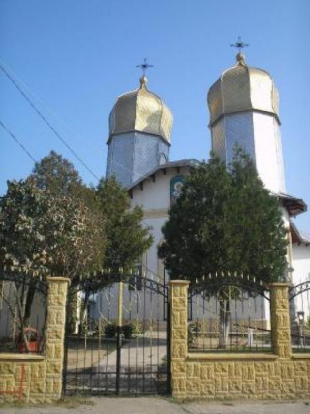
- Monasteries, churches:
http://www.crestinortodox.ro/biserici-manastiri/
Sports
- fishing:
http://pescarhoinar.com/forum/viewtopic.php?f=12&t=60
Other Services
- Police
http://www.carte-telefoane.info/POLITIA_IC_BRATIANU-who2928130.html
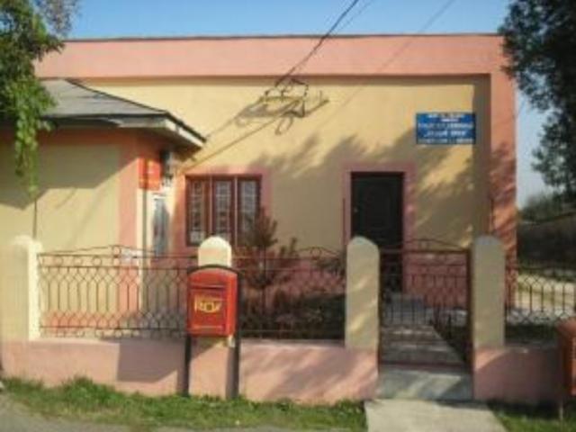
- post office
http://www.posta-romana.ro/offices/details/tulcea/ic-bratianu_6219
Informations
|
|
Settlement name |
I.C.Bratianu |
|
Population |
1375 inhabitants |
|
|
Area |
48, 77 km2 |
|
|
Administrative status |
commune |
|
|
Location of settlement centre |
45.0166, 28.4333 |
|
|
Height of settlement centre |
4 m |

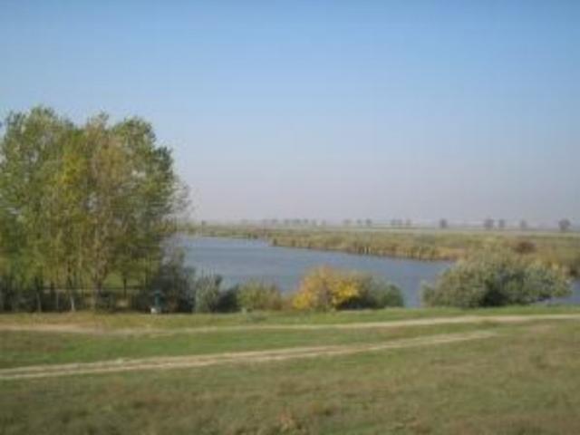
Geographical location: the I.C. Bratianu Commune is situated in the north-west of the Tulcea County, 35 km far from the Macin Town and 77 km far from the Tulcea Municipality, the administrative and political centre of the Tulcea County.
The Danube separates the territory of the Bratianu Commune from the administrative territories of the Braila and Galati Counties.
The Commune consists of a sole village after which the it takes its name: I.C. Bratianu.
Main economic activities: Agriculture, fishing, animal husbandry, marketing, service provision
Tourist attractions:
- the ‘Ionuţ Cătălin Florea’ Museum
- The historical traces of Dinogetia – the Dinogetia settlement in its current appearance is the result of the archaeological investigations conducted since 1939. The settlement is located on a small island (‘popina’ in Romanian) and is not accidentally called ‘Bisericuta’ (‘the Small Church’) by the natives. In fact, there are two overlapping forts, one of them as old as the IVth – VIth centuries and the other one as old as the Xth – XIIIth centuries.
Source: http://www.info-delta.ro/localitatea-i-c--bratianu---judetul-tulcea-p58.html
http://www.primariaonline.ro/judet-Tulcea/primarie-I%20C%20Bratianu
Gallery