Fântânele
Tourism
Official Website: -
Website Introducing the Settlement: http://www.primariaonline.ro/judet-Teleorman/primarie-Fantanele/m/1, http://ro.wikipedia.org/wiki/F%C3%A2nt%C3%A2nele,_Teleorman
Sports
the handball team of the village obtained important national prizes.
Informations
|
|
Settlement name |
Fantanele |
|
Population |
1910 inhabitants |
|
|
Area |
27,48 km2 |
|
|
Administrative status |
commune |
|
|
Location of settlement centre Height of settlement centre |
43°44’N, 25°15’ E 80 m
|
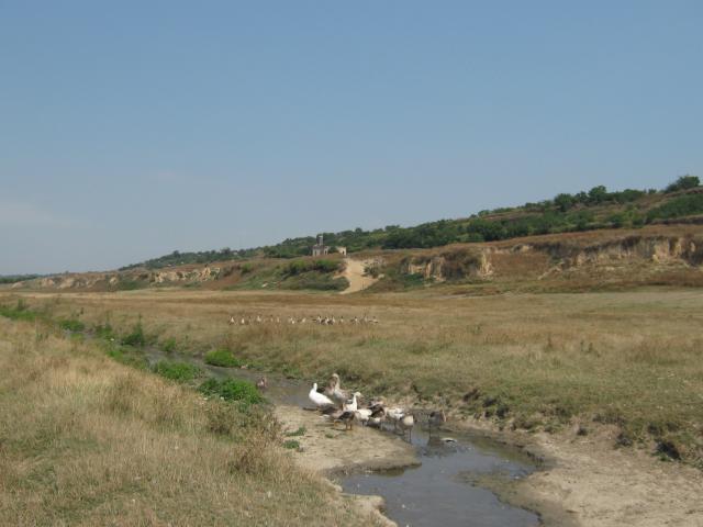
Fantanele is a village situated in the south of the county Teleorman, at a distance of 40 km from the towns Alexandria and Turnu Magurele. It is bordered by Zimnicea in the east, the commune Suhaia in the west, the Danube in the south and the communes Izvoarele and Smardioasa in the north.
The commune was funded on the 13th June 1588, but the village was older. It is believed that it existed even from the 15th cent. or before. Tha name of the village („The Springs”) comes from the fact that there was a great number of springs that sprang from the Danube Valley.
The main occupation of the inhabitants in Fantanele is agriculture and zootechnics.
Main touristic objectives:
- The church „Adormirea Maicii Domnului”
- The settlement in Pietrosani, in the archaeological point „ Reca Mare”, 1st cent. BC – 2nd cent. AD, Latene culture, Geto-Dacian. It is situated on the south-west part of the village, on the right bank of the river Vedea.
- The archaeological site site in Pietrosani, in the place called „Locul Popilor”, situated in the south of the village, on the right bank of the river Vedea
- The Danube
Events: The festivity of the village – 19th April
Gallery