Ciuperceni
Tourism
Official Website: -
Website Introducing the Settlement: http://en.wikipedia.org/wiki/Ciuperceni,_Teleorman
Other Services
- doctor’s office
Medical and dental clinic
Informations
|
|
Settlement name |
Ciuperceni |
|
Population |
1827 inhabitants |
|
|
Area |
38,19km2 |
|
|
Administrative status |
commune |
|
|
Location of settlement centre Height of settlement centre |
44°93’N 23°01’ E 120 m |
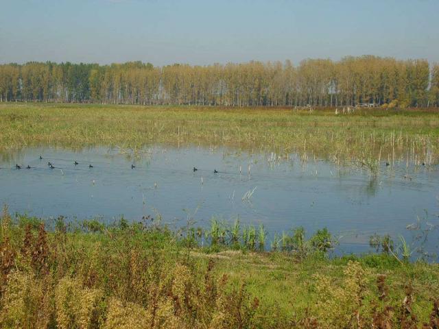
Ciuperceni is situated in the South-East side of the county Teleorman, at a distance of 53 km to the county residence, Alexandria. It is bordered in the west by the city Turnu Magurele, in the east by the commune Traian, and in the south by the Danube.
The commune Ciuperceni is composed by two villages: Ciuperceni and Poiana. The cavings revealed relics from the Paleolithic, the Neolithic, the Bronze Age, the Iron Age.
The main occupation of the inhabitants is agriculture, the cultivation of vegetables and sheep raising.
Main touristic objectives:
· The paleontological reservation from the Palaeolithic, in the place called „La Vii”. Here, the carvings made at a depth of 10 meters, where ancient tools, that are believed to be 1.500.000 old where discovered. They are between the oldest remnants of the humanity.
- The roman castrae in Flamanda (6th – 7th cent.)
- The Danube
Events: The village festivity – Saints Constantin and Elena – 21st May
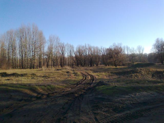
Gallery