Tahitótfalu
Tourism
Official Website: http://www.tahitotfalu.hu/
Website Introducing the Settlement: http://hu.wikipedia.org/wiki/Tahit%C3%B3tfalu
http://www.vendegvaro.hu/Tahitotfalu
Cultural and Conferance Tourism
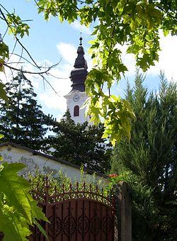
- heritage site (national importance), built heritage (local importance)
Eco Tourism, Excursions
- zoological park
Bodor Major (http://www.bodormajor.hu/)
Sports
- certified riding school, horse farm
Zablakert riding school: (http://www.zablakert.hu/)
Bodor Major (http://www.bodormajor.hu/)
- archery
T.A.K.I. SE (http://www.takise.hu/)
Other Services
- pharmacy shop
http://www.aranyoldalak.hu/tahitotfalu/gyogyszertar-es-patika/index.mtt
- doctor’s office
http://www.koromvirag-gyogyszertar.hu/rendelok-szakellatasok-tahi/
- post office
http://www.mapinform.hu/city/tahitotfalu/1/
- restaurant, café, pastry shop
http://tahitotfalu-tahi.restaurant.hu/varos/tahitotfalu-totfalu
Accomodation
http://www.iranymagyarorszag.hu/keres/tahitotfalu/szallasok-p1/
Informations
|
|
Settlement name |
Tahitótfalu |
|
Population |
5 523 inhabitants |
|
|
Area |
3 917 ha |
|
|
Administrative status |
village |
|
|
Location of settlement centre |
47.75420, 19.08850 |
|
|
Height of settlement centre |
100- 120 m |

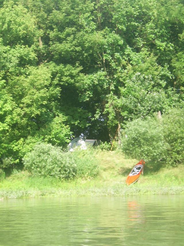
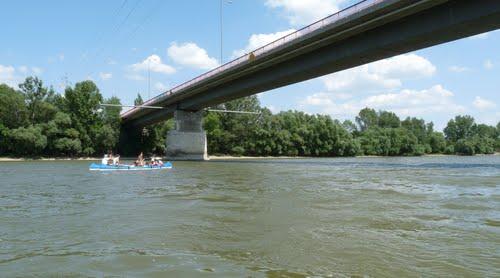
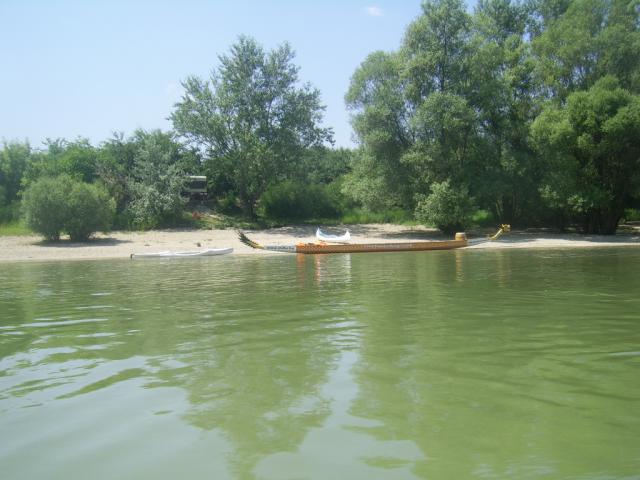
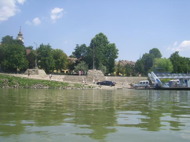
Tahitótfalu is split by the Danube into two parts: Tahi is located on the river’s right bank, while Tótfalu is situated on the Szentendrei-island. The two settlement parts are connected by the only bridge of the Szentendrei-island. The settlement can be reached from the left bank of the Danube by ferry operated between Vác and Tótfalu. Tahitótfalu is a traditional agricultural settlement; many dwellers are engaged in strawberry-growing. The Strawberry Festival organised already the 12th times presents the manifold possibilities of processing the fruit. The three-day event welcomes the visitors with music, dance and sports programs.
Tahi lies in the neighbourhood of the Visegrád Mountains, thus is an ideal starting point of hiking and cycling trips. The marked footpaths (red, yellow, green) traverse the undulating countryside dotted with meadows, passing by springs and streams, often offering a fascinating panorama. At the foot of the mountains, vine-growing and white wine production has had long traditions. Mihály Pollack also owned a vineyard and a holiday home here. The tomb of the classicist architect, designed by Miklós Ybl can be found in the village cemetery.
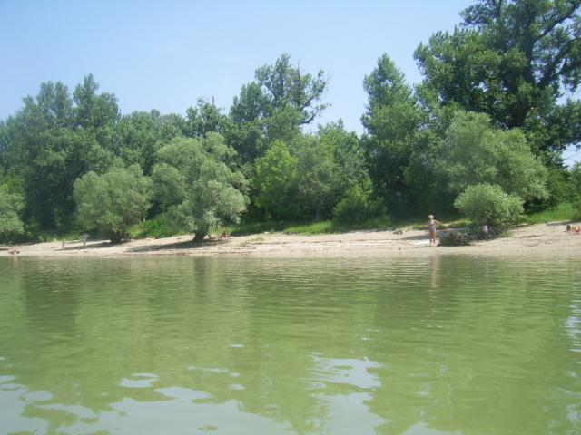
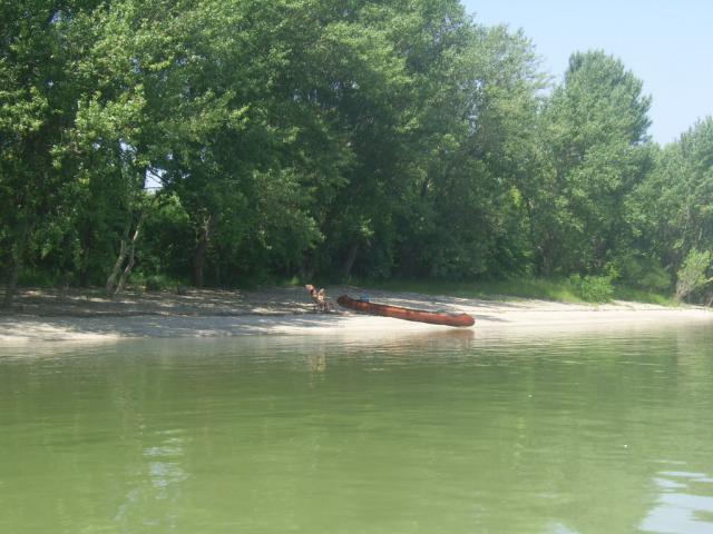
Tótfalu lies on the flat, sand-hill covered area of the Szentendrei-island. In the local riding school we can try all branches of equestrian sports, from trail riding through mounted hunting all the way to equestrian skijoring. Professional instructors provide the training of beginners and children. On the way to the ferry a ranch (“major”) offering a wide range of touristic services is located, with an equestrian centre, adventure park and inn. In its animal farm the visitors can see various indigenous animals, such as buffalo, grey cattle and cigája sheep. The ranch organises also gastronomical and cultural events.
Sources: http://www.tahitotfalu.hu/, http://www.vendegvaro.hu/, http://hu.wikipedia.org/, Dr. Dénes György: Budapest és a Dunakanyar. Carthographia, Budapest. 2001
Gallery