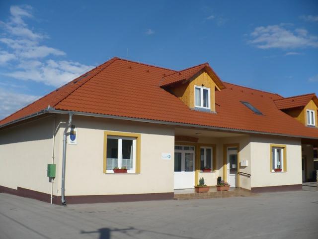
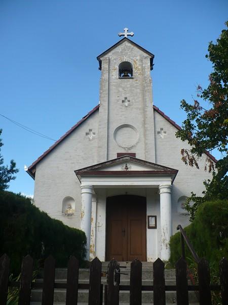
Kulcs
Tourism
Official Website: http://kulcs.eu/
Website Introducing the Settlement: http://hu.wikipedia.org/wiki/Kulcs_%28telep%C3%BCl%C3%A9s%29
http://www.vendegvaro.hu/Kulcs
Sports
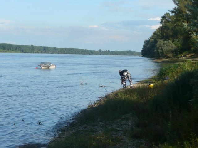
- fishing
Kulcsi Horgászegyesület (Fishing Association): (http://www.kulcsihorgaszegyesulet.hu)
- go-cart track
Kulcs go-cart track(http://www.kulcsigokart.hu/)
Other Services
- police
http://www.cylex-tudakozo.hu/ceg-info/bajai-rend%C5%91rkapit%C3%A1nys%C3%A1g-97668.html
- pharmacy shop
http://www.aranyoldalak.hu/kulcs/gyogyszertar/index.mtt
- doctor’s office
http://www.aranyoldalak.hu/kulcs/orvosi-rendelok-ugyeletek/index.mtt
- post office
http://www.dimo.hu/hu/cegek/7448/Postahivatal/Posta/Kulcs
- e-point, internet café
http://www.emagyarorszag.hu/ugyfelkereso_reszletek.ivy?offid=820A099C-F48A-44D2-9735-E8EFF48B3E5A
- restaurant, café, pastry shop
Accomodation
http://www.szallas.net/kulcs.html
http://www.szallasjegyzek.hu/vendeghaz/kulcs/marietta_vendeghaz.php
Informations
|
|
Settlement name |
Kulcs |
|
Population |
860 inhabitants |
|
|
Area |
2 324 ha |
|
|
Administrative status |
village |
|
|
Location of settlement centre |
46.59520, 18.89300 |
|
|
Height of settlement centre |
140- 160 m |

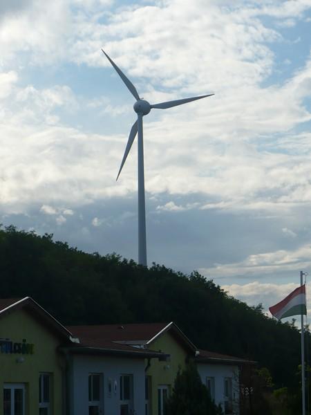
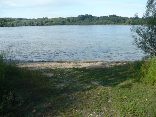
Kulcs lays on the right bank of River Danube, in the vicinity of long-distance road No. 6-and Highway M6. By train it is accessible on the Pusztaszabolcs-Dunaújváros-Paks line. It is ideal for recreation and for excursions. The settlement has a very beautiful beach covered with gravel and sand, but Lakes Balaton, Velencei or Szelidi are also in reach. In 1994 the inhabitants decided by referendum to de-merge from Rácalmás. The first wind power station in Hungary that was to supply electricity to the public network was erected in Kulcs 2011.
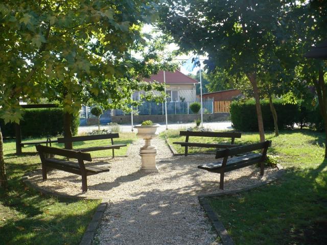
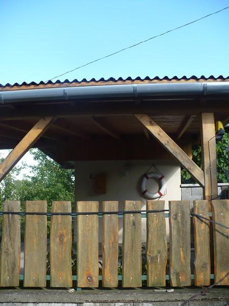
On the hillside of the settlement with favourable geographical location facing the Danube a recreation zone was set up where in the summer time the population triples. There are several societies and social organizations in the village. The water tour on 20 August they organize every year became a tradition: the participants row by their boats on the Kulcs-Lórév-Kulcs route. The other important sports event of Kulcs is the International Challenge Day which lasts round the clock, that is from 12.00 a.m. to 12. p.m. Besides these, the traditional summer program of the Kemencés Kézműves Egyesület (“Oven” Craftsmen Association) and the “Mesterségek Bölcsője Alkotónapok” (Nursery of Crafts Creative Days) await the guests. The settlement has a restaurant, pension and guest house. The go-kart grounds near the M6 Highway is suitable for family and company events and celebrations.
Sources: http://kulcs.eu/, http://hu.wikipedia.org/, http://www.vendegvaro.hu/
Gallery