Győrújfalu
Tourism
Official Website: http://www.gyorujfalu.hu/
Website Introducing the Settlement: http://hu.wikipedia.org/wiki/Gy%C5%91r%C3%BAjfalu
Sport
- fishpond, lake
http://www.horgasz.hu/page/54/art/1454/akt/54/html/gyorujfalui-kavicsbanya-to.html
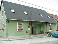
Other Services
- pharmacy shop
http://www.webbeteg.hu/keresok/patika/1145/
- post office
http://holmivan.valami.info/posta-nyitvatartas-terkep/56511
- restaurant
Informations
|
|
Settlement name |
Győrújfalu |
|
Population |
1455 inhabitants |
|
|
Area |
737 ha |
|
|
Administrative status |
village |
|
|
Location of settlement centre |
47.7167, 17.6167 |
|
|
Height of settlement centre |
112- 113m |

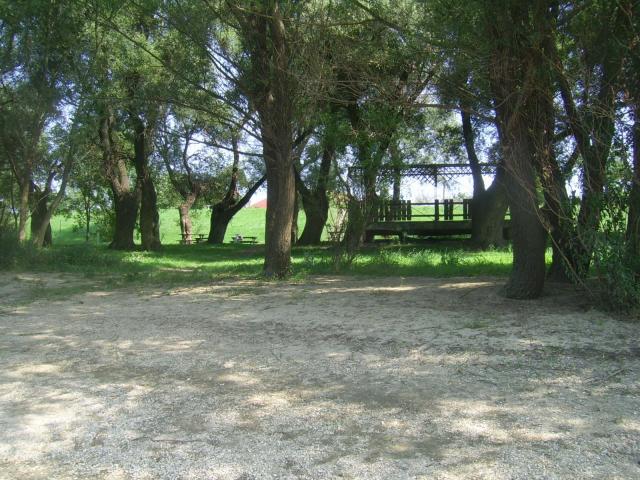
Győrújfalu lays on the bank of the Moson Branch of Danube, at a distance of 5 km north-west of Győr. By car the village is best accessible on the Szigetköz long-distance road starting from Győr. By bike you can come to the village on the bikeway built on the dike alongside River Danube. The settlement suffered a lot from natural disasters during the history. It got its present shape following the flood of 1954, as the flood of that year has destroyed almost the entire settlement.
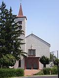
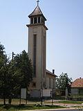
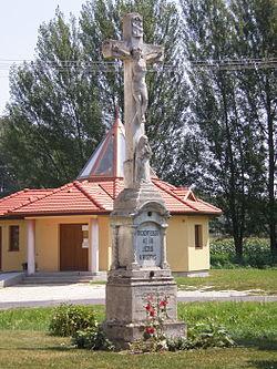
The Danube bank of the settlement is very popular among anglers and among those making boat tours. Anglers can try their luck in two angling ponds and a gravel mine lake. In the crystal clear water of the mine lake, at some places as deep as 25 m you can catch carp, pike, pike-perch, catfish and bream. Nearby the settlement is the Szúnyog-sziget in the middle of the Mosony Branch of Duna, which is an excellent place for excursions and rest. You will find romantic little streets in the village, calling you for walks. The evangelist and catholic churches of Győrújfalu are also worth of interest. The evangelist church was built in 1950, but its bell and altar painting, and the bronze cross on it are from 1866. The settlement organizes a village fest every year.
Sources: http://www.gyorujfalu.hu/, http://hu.wikipedia.org/wiki/Gy%C5%91r%C3%BAjfalu, http://www.mnvh.hu/ptPortal/index.php?mod=news&action=showNews&newsid=11624&lang=hu
Gallery