Dunaegyháza
Tourism
Official Website: http://www.dunaegyhaza.hu/
Website Introducing the Settlement: http://www.vendegvaro.hu/Dunaegyhaza, http://hu.wikipedia.org/wiki/Dunaegyh%C3%A1za, http://www.dunaegyhaza.extra.hu/
Cultural and Conferance Tourism
- heritage site (national importance)
- permanent exhibition (local importance)
Szlovák tájház (country house): (http://www.museum.hu/museum/index_hu.php?ID=1125)
- regular cultural programmes
http://www.dunaegyhaza.hu/esemenyek
Other Services
- doctor’s office
http://aranyoldalak.hu/dunaegyhaza/orvosi-rendelok-ugyeletek/10138208/Orvosi_Rendelo/hirdetes.mtt
- post office
http://www.dimo.hu/hu/cegek/43/Dunaegyhaza_Posta/Posta/Dunaegyhaza
Accomodation
http://www.iranymagyarorszag.hu/keres/dunaegyhaza/szallasok-p1/
Informations
|
|
Settlement name |
Dunaegyháza |
|
Population |
1 525 inhabitants |
|
|
Area |
1 012 ha |
|
|
Administrative status |
village |
|
|
Location of settlement centre |
46.84093, 18.95557 |
|
|
Height of settlement centre |
95- 100 m |

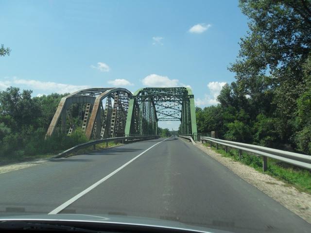
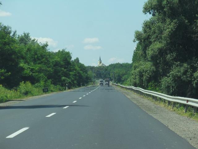
Dunaegyháza lies on the left bank of River Danube, between Solt and Dunavecse. It can be approached on access roads from Main Roads 51 and 52. From Dunaújváros a direct bus service runs to the settlement through Apostag. The highest point of the village is the 124-metre-high Solti-halom (Solti Hill) where a lookout stands.
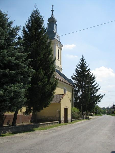
During the Turkish devastation Dunaegyháza became completely depopulated. After the expelling of the Turks, evangelistic Slovaks were settled in the village between 1701 and 1714. In the renovated thatch-roofed Szlovák Tájház (Slovak Country House) the culture, folk art and the development of their different devices can be followed. It is worth visiting the Calvinistic church of the village, whose dome carries the marks of the highland's architecture. In the village the Slovak ethnic festival is organised on a biannual basis. At this time particularly many people visit the country house. Other events are the village day, the meeting of the dancers of minorities and the vintage procession and ball.
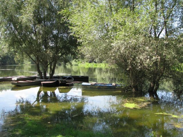
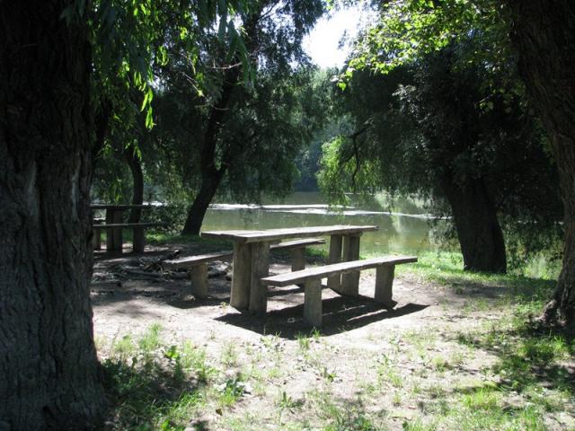
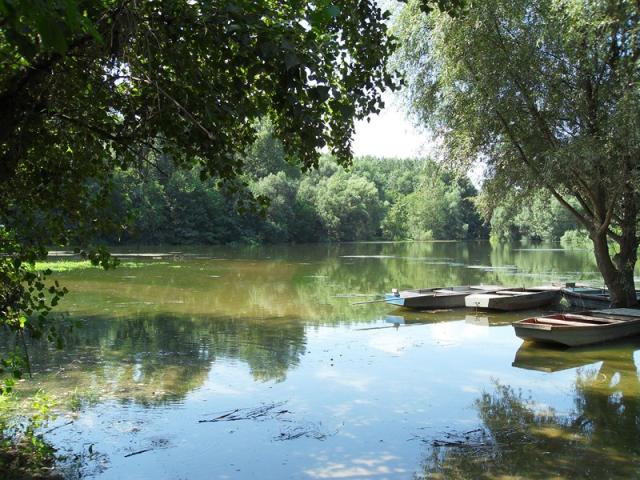
Heading south in Duna utca (Danube Street) the Solti-Duna (Danube of Solt) and the romantic Duna-sziget (Danube Island) appear before us. At the clear-water free beach there are a snack-counter, a playground, several places for angling and even tents can be put up. Both hikers and cycle tourers like the water and the peaceful environment. On Duna-sziget snowdrops and valley lilies are endemic and in springtime the sunny hillside running in a length of 4 km parallel with the line of the dead branch is decorated by violets.
Sources: http://www.dunaegyhaza.hu/, http://hu.wikipedia.org/, http://www.vendegvaro.hu/
Gallery